| Date | Aircraft | Route of Flight | Time (hrs) | Total (hrs) |
| 20 Jun 2015 | N21481 | SDC (Sodus, NY) - FZY (Fulton, NY) - LKP (Lake Placid, NY) - SDC | 4.2 | 1425.0 |
Private aviators are masters of the contrived mission to justify flight. After all, how many acts of aviation have been committed in the name of hamburgers and pancakes? Sometimes, the need to go from Point A to Point B quickly and conveniently introduces some practicality. In those instances, flying a light aircraft can make a lot of sense. A case in point is the typical 2.5 hour flight from Sodus, NY to Pontiac, MI in Warrior 481 versus a 6+ hour drive through Canada with two rounds of customs stops.
At other times, however, I just want to fly and am happily willing spend some quality time alone with my airplane without pretext. It's sort of like taking a Sunday drive...in the sky.
 |
| Sodus Point |
We departed the Williamson-Sodus Airport and flew direct to the Oswego County Airport (FZY) for a quick fuel stop. I love the fuel pump at Oswego; it's fast. Because of its identifier, my friend John refers to Oswego County as "Fuzzy". This cracks me up, but I am chagrined to have flown in this area for 9.5 years without that ever occurring to me.
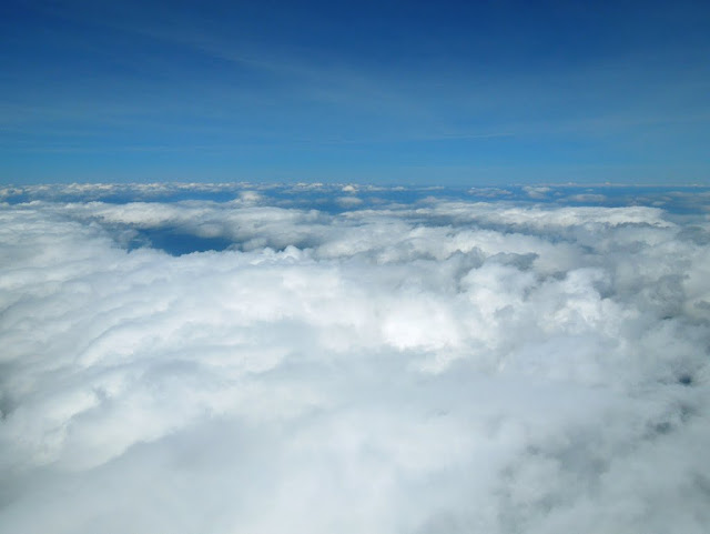
After the fuel stop, we climbed above the scattered cloud deck and turned eastbound toward the Adirondacks. The clouds began to close in below, but surrounding areas were still reporting clear (not to mention that a pop-up IFR clearance is a wonderful back pocket safety net).
As we neared the Adirondacks, the terrain lofted the ceiling much higher. We climbed to 11,500 feet, the highest Warrior 481 has been in years, to continue on an appropriate eastbound VFR altitude with suitable cloud clearances.
East of Piseco, over the hump of high clouds, the ceiling began to disintegrate. We surrendered several thousand feet for a better view, but remained in smoother air above the clouds. The nearest automated weather station in Saranac Lake reported winds from the southwest at nine gusting to 18.
Nearing Lake Placid, we descended below the clouds and into the haze.
We overflew the Lake Placid Airport and observed the windsock to indicate a direct crosswind, consistent with weather reports out of Saranac Lake. Thus, runway choice was a 50/50 proposition. I chose runway 14 because (1) it's what the last airplane used, (2) I've never used that runway at Lake Placid, and (3) runway 14 does not end in a cliff the way runway 32 does, minimizing the likelihood of sinking air on final approach.
After checking the sock, we turned out over Lake Placid to lose altitude before entering the traffic pattern.
Along the way, we flew past the distinctive Whiteface Mountain.
We made a smooth landing in a direct 15 knot crosswind (estimated from the windsock) and parked within sight of Whiteface.
I had no business or objective in Lake Placid, but simply used the stop to stretch my legs and get some crosswind landing practice. Back in the airplane, I chose a more circuitous route home. We would depart on runway 32, fly runway heading toward Potsdam to avoid the military operations areas (laterally or vertically, as appropriate), then fly westbound toward Lake Ontario and Watertown before returning home along the lakefront.
On departure, we passed south of the Lake Placid Olympic Complex where the 1980 United States men's Olympic hockey team defeated the Soviet Union National Team in what has become known as the Miracle on Ice.
I took one last glance over my shoulder as we left Whiteface and the other Adirondack High Peaks behind.
Along our northwest course, the terrain melted back into flat ground. Near Alexandria Bay, we turned southwest toward Watertown. Below, I-81 wound southward from the Thousand Islands toward Syracuse.
We went "feet wet" over the southeast corner of Lake Ontario, always remaining in gliding distance from shore. We also descended to 3,000 feet to better manage the strong headwind.
From the eastern edge of Lake Ontario, most of the cumulus clouds remained farther inland in the warmer air.
As we reached the south shore of Lake Ontario, however, conditions dropped to marginal VFR. Were it not for sunbeams on the water, all features above and below would have been a uniform grey. We flew through a light rain shower near Fair Haven and landed at Williamson-Sodus to find evidence that significant rain fell there in our absence.
Who needs a contrived excuse to fly when there are mountains, clouds, and a Great Lake to be enjoyed from aloft? I think those are excuses enough.
 |
| GPS ground track from Stratus 2, plotted in Google Earth |


No comments:
Post a Comment