Faster Than a Speeding Bullet
I remember when the world's fastest, air breathing aircraft came to Kalamazoo, MI.
 |
| The SR-71B in its current home at the Air Zoo. Photographed 02 January 2006. |
In what was undoubtedly a coup for an airplane museum in a small Midwestern city, the Air Zoo added the world's only surviving SR-71B Blackbird to its collection on 28 March 2003. The unique dual-cockpit trainer variant of the storied spy plane arrived by truck in pieces; thirteen of them if memory serves. As an Air Zoo volunteer, I watched as this magnificent aircraft was reconstructed on the apron outside the museum.
 |
| The SR-71B shortly after its original placement in the Air Zoo. Photographed 03 May 2003. |
 |
| The Blackbird still bears its NASA tail number. Photographed 22 June 2003. |
The SR-71s and their A-12 siblings are relics of the Cold War, spy planes designed to fly so high (85,000+ feet) and so fast (Mach 3.2) that they could surveil with impunity because it was virtually impossible to shoot one down. Designed by Kelly Johnson's "Skunk Works" operation at Lockheed, the first SR-71 flew on 22 December 1964 and went on to set speed and altitude records that no other air breathing, manned aircraft has beaten since. Whereas an average bullet flies at 1,700 miles per hour, the Blackbird flew at speeds exceeding 2,100 mph. It was literally faster than a speeding bullet. An SR-71 once crossed the North American continent in just 67 minutes. It is a feat all the more astounding considering that the SR-71 was designed using what Kelly Johnson called a "Michigan computer" (slide rule).
 |
| One of the two Pratt & Whitney J-58 high bypass ratio turbo ramjet engines that propelled the Blackbird to Mach 3.2. |
At those speeds, frictional heating raised the aircraft's skin temperature to 600-700°F, necessitating measures to prevent the aircraft from simply melting in flight. As a result, 93% of the airframe is titanium because it possesses the required strength, light weight, and high heat resistance necessary to build a Mach 3 aircraft. Ironically, most of it was sourced from the Soviet Union through a number of foreign shell companies created by the CIA. A flying gas tank, the SR-71 cooled its own skin with low volatility JP-7 fuel before feeding it to the voracious J-58 engines. Because black bodies radiate heat more efficiently than any other color, the titanium ships were painted black to further reduce skin temperature. Like most other aircraft, the SR-71 is a prime example of function dictating form.
 |
| A 1994 NASA photograph of the Air Zoo's SR-71B in operation. |
After retirement from espionage, the Air Zoo's SR-71B flew for NASA before the aircraft stopped flying altogether. The B-model's distinctive twin cockpits are readily identifiable in photographs.
 |
| The SR-71B Blackbird on the Air Zoo ramp, photographed 13 Apr 2003. |
I loved watching this amazing, futuristic looking aircraft from the 1960s come together on the Air Zoo ramp in 2003. (For an excellent photo journal of the reassembly, see this website.) But I waited seventeen years for an opportunity to finally peek inside the cockpit.
Slow Flight to the D
During the month of February, the Air Zoo opened the SR-71B cockpit for public viewing and I vowed to make the journey if weather permitted. A flight from western New York to Kalamazoo, Michigan in February is not a given considering typical February weather and the multiple lake effect regions that must be crossed along the way. Defying the odds, February 23 was forecast to be ideal; warm and sunny without precipitation or low clouds. The only catch was a thirty knot westerly headwind aloft.
Thus, we set out on February 23 to visit the world's fastest aircraft by flying what was arguably one of the slowest.
| Date | Aircraft | Route of Flight | Time (hrs) | Total (hrs) |
| 23 Feb 2020 | N21481 | SDC (Sodus, NY) - DET (Detroit, MI) - AZO (Kalamazoo, MI) - SDC | 8.2 | 2092.5 |
Dan agreed to fly with me, another former Kalamazoo resident and aficionado of the Air Zoo. I warned him that it would be a long day. I wanted to be aloft by 7:00 am, estimated a noon arrival in Kalamazoo, and an 8:00 pm return to Sodus. Expecting to be slowed by forecast headwinds, the outbound trip required an intermediate fuel stop. Based on past experience, I chose Coleman A Young Municipal Airport (formerly Detroit City Airport, KDET) for an easy stop with inexpensive fuel ($4.50 / gal).
 |
| Lake St Clair |
Averaging 94 knots across the ground, we flew over western NY, Niagara Falls, southern Ontario, and returned to United States airspace by crossing a frozen Lake St Clair. This was one of those rare days where flying higher resulted in lower headwinds on our westerly course. As usual, the Cleveland Center frequency east of Aylmer was problematic, even at 8,000 feet.
 |
| Lake St Clair |
Though the surface wind was out of the southwest, City Airport was landing to the southeast on runway 15. I requested and was cleared to land on runway 25 instead. Fortunately, there were no coyotes on the runway this time. Our flight from Sodus to Detroit lasted over three hours, presenting quite a workout for my left hand and wrist that were sprained just a week earlier. I wore a brace all day and that increased my endurance significantly.
 |
| The new ramp ornament at KDET. I think the trailer is missing a "wide load" banner. Note that the outer wheels of the dual wheeled main landing gear do not fit on the trailer at all. |
When I asked to taxi to the self-service fuel pump, the sleepy-sounding City Tower controller commented, "Uh...I don't think that's working, but maybe it is. Let me know if it's not.”
It wasn't. But our detour to the fuel farm allowed us to check out the field’s newest ramp ornament, a wrecked jet that barely fit on a flatbed trailer. In place of a nose gear, the belly was adorned with mud and grass, providing silent testimony of the jet's recent history. Aircraft like this are simply not built for off-roading. Its eventual fate was the subject of extensive speculation at the AvFlight FBO. One staffer suggested that they were opening a museum with this as the first artifact. Another whimsically speculated that it would be converted into a fountain.
 |
| Warrior 481 on the AvFlight ramp at KDET. Photo from 14 June 2019. |
AvFlight gave us a quick turn by fueling us from the truck, engaged us in some light banter about the wreck on the ramp, and charged us the self-serve fuel rate because of the inoperative fuel pump. Consistent with my last experience, these folks were friendly and provided top notch service at a great price.
A Sleepy Controller and Career Paths Not Taken
"City Tower, do you want Cherokee 481 to contact Departure?"
Sleepily, "Uh, yeah, Cherokee 481, go ahead and contact Detroit Departure."
I acknowledged while giving Dan an exaggerated "oh boy" face and switched over to Departure.
 |
| ForeFlight display while overflying Detroit Metro. Breadcrumb trail shown in green. |
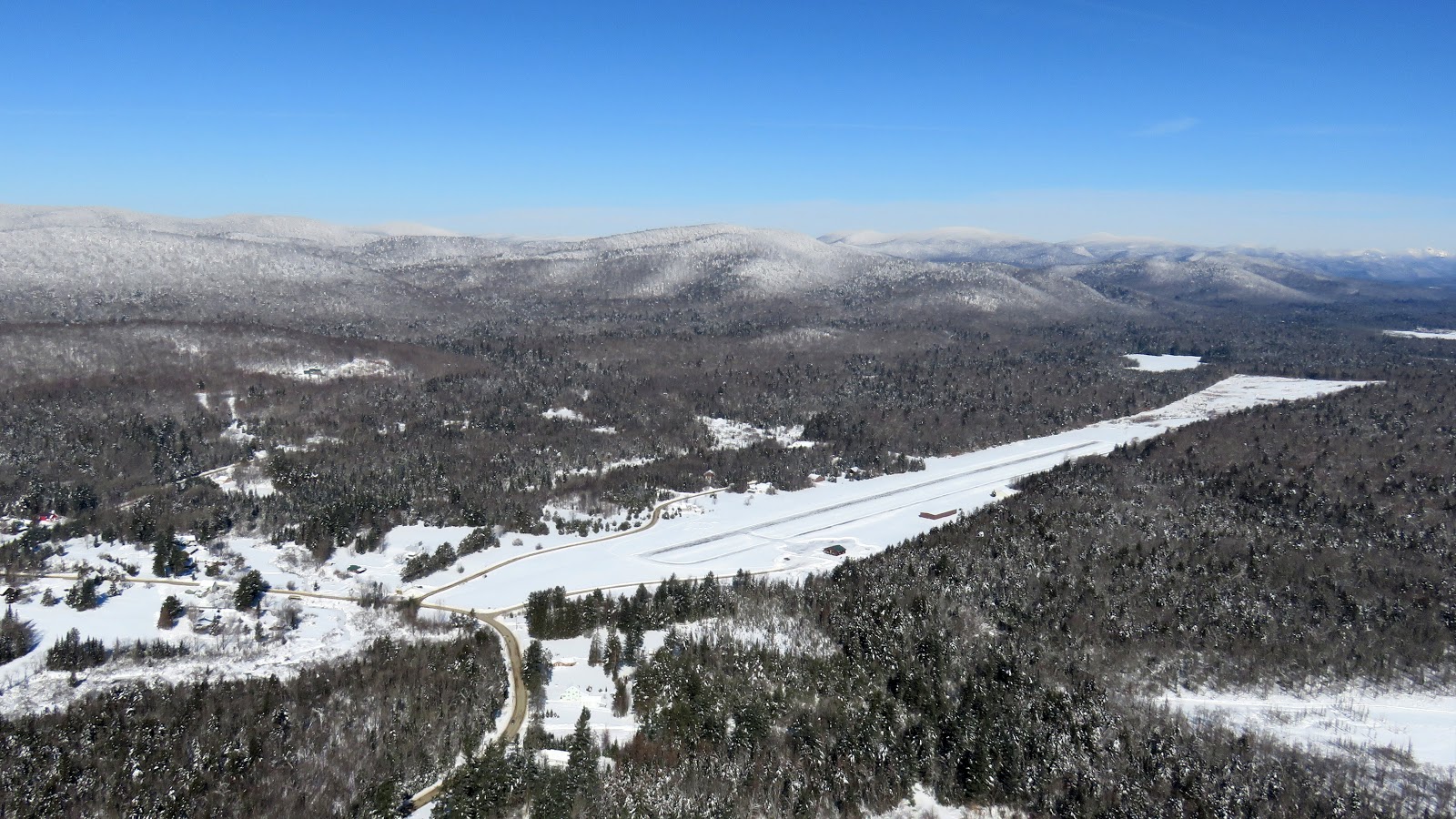
A decidedly less sleepy Detroit radar controller vectored us over the Windsor Airport, then perpendicularly across Detroit's arrival corridor at 5,000 feet. Dan and I got to admire the sight of airliners lining up to land underneath us. Once west of Detroit Metro Airport and no longer a factor for inbound traffic, we were cleared direct to Kalamazoo. Ground speed was lower on this leg, averaging 86 knots. As we paralleled I-94, I saw that we were passing traffic on the Interstate, but not by any significant margin.
 |
| UberCo's Ann Arbor facility |
For me and Dan, a defining event in our professional lives occurred on 21 July 2005 when our employer in Kalamazoo, UberCo (not its actual name), disbanded all 500 scientists in our division. Both of us were offered opportunities to remain with the company by moving to UberCo's Ann Arbor, MI R&D facility. Dan took the offer, but I declined and moved to my current employer in Rochester, NY instead. Roughly a year later, UberCo announced that Ann Arbor would be shut down as well. (I once speculated that UberCo's slogan should be, "And you will know us by the trail of the [figurative] dead.") In 2007, Dan and I reunited as colleagues in Rochester.
"Hey, I think we're over the Ann Arbor site," I said to Dan. I was not certain because I only visited the site a couple of times. On one of those visits, I gave a seminar that earned me some notoriety for offhandedly shutting down a stupid question from the local know-it-all. A director level Ann Arbor colleague later described my handling of the moment as "awesome". I opened the Warrior's window to get a photo and passed the camera to Dan for his inspection.
"Yep, that's it," he confirmed, then fell silent. There was not much else to say about the site. He certainly didn't work there long enough to feel any attachment to the place, quite unlike the nostalgia we both still carry for Kalamazoo.
Reunion
After 1.5 hours of flying, we landed in Kalamazoo and I taxied to the Kalamazoo Pilots Association fuel pump hidden among the rambling "South Ts". At $4.29 / gallon, the KPA sells some of the least expensive avgas in the southwestern quadrant of the Mitten. It was my first time using their facility, which led me to wonder why I had not done so sooner in the previous 16 years of landing at Kalamazoo.

With fuel topped off for the return flight, we taxied onto the Air Zoo ramp via good ol' Bravo 3. I saw immediately that my last minute messaging to friends had netted results.
Jeff was waiting for us on the ramp. We have known each other since our days as newbie Cherokee owners asking questions on the Piper Owner Society forums (before that forum melted down in the late 2000s over petty nastiness and political bickering). Despite having a few mutual friends, we had only met once in person during a lunch stop at Virginia's Dinwiddie Airport in 2014. Since then, Jeff relocated his family and Turbo Saratoga to western Michigan. His flight to the Air Zoo that morning was a lot shorter and more expedient than ours.
Waiting with Jeff was Dar, one of my fellow Saturday docents at the Air Zoo. An affable fellow and a consummate storyteller, Dar possesses an enviable knack for engaging museum visitors.
 |
| Cap'n Dave, me, Dan, and Jeff with ol' Hognose. Photo by John. |
Inside, we encountered Cap'n Dave, skipper of the South Haven based Fairwind. Cap'n Dave worked as a chemist with me and Dan in Kalamazoo. We used to engage in debates (i.e., arguments) over which avocation was superior: flying versus sailing.
"I'm faster than you, can actually go places, and can fly year round instead of having to put my airplane away for the winter like you do with the boat," I would boast.
"I can drink beer on the boat," Cap'n Dave would respond, consistently winning the debate.

 |
| Saturday docent reunion: Dar, me and John. We were just missing Garrett and Dave. Photo by Jeff. |
We were later joined by John, another Saturday Air Zoo docent. John went with me and Dave on our first trip to Sun 'n' Fun in 2005.
Ode to Erbelli's
Given the noontime arrival, I already knew that we would need lunch when we landed. I assumed that we would eat at the Air Zoo's greasy spoon snack bar because I did not anticipate any ground transportation being available. That plan was scrapped immediately when Cap'n Dave uttered a single word: Erbelli's. Every time I get pizza in Rochester, I dearly miss Erbelli's. With Cap'n Dave willing to drive, Jeff, Dan, and I were in. The Blackbird would have to wait.

An unassuming storefront on what appears to be a former service station conceals a kitchen that makes some of the best stuff on Earth. If happiness has a flavor, it must taste something like an Original Erbelli's Calzone. Jeff, Dan, Cap'n Dave, and I each ordered one.
 |
| Me and Dan at Erbelli's. Photo by Cap'n Dave. |
To my mind, that calzone would have been enough to justify the entire five hour slog to Kalamazoo. But there was so much more to see and do during our quick trip than appease our taste buds.
Code Name: Oxcart
 |
| The SR-71B photographed 27 September 2013. |
As we waited to view the Blackbird's cockpits, Dar slid into docent mode, regaling us with stories about the airplane and the space-suited pilots that flew her. I smiled when I caught Dar recounting a tale that I had heard him tell many times before. It was one that I also used to share with visitors, but Dar always told it better.

A dual cockpit SR-71 trainer was critical to success of the SR-71 program because the Blackbird was a handful to fly, particularly given the the propensity for engine "unstarts". The positions of the conical spikes in front of the engine intakes were adjusted as a function of Mach number to manage the airflow into the engine once the aircraft was supersonic. Improper management of that airflow could suddenly drop the efficiency of the engine dramatically -- a so-called "unstart". Consider for a moment the violent yaw that would manifest from asymmetric thrust at Mach 3.2. It was a phenomenon best experienced for the first time with another seasoned pilot on board.
 |
| Front cockpit. |
 |
| Rear instructor's cockpit. |
The SR-71 was designed on slide rules over a decade before I was born and, not surprisingly, cockpit instrumentation is densely analog. Behind the dials and switches, however, lurked rather advanced avionics for the era. At high speed, even subtle changes in pitch had massive impact on the trajectory of the aircraft. Imprecision or a twitchy hand on the stick could get a pilot into trouble in a hurry. As a result, the airplane was flown precisely by an Automatic Flight Control System. It was thus the pilot's job to manage the autopilot.

As I surveyed the cockpit instrumentation, I was amused to note that one of the most prominent instruments on the panel is an ADF. While period-appropriate, I was nonetheless amused by its prominence in an aircraft so advanced.
Snoopy's Steed

This homebuilt replica of a Sopwith Camel stood in the lobby of the original Air Zoo for many years without wings. The Air Zoo completed the wings a few years ago and chose not to cover them so that visitors could see how the wings were constructed. I think this was a brilliant decision.


Whistlin' Britches
 |
| The P-39 Airacobra photographed 27 Sep 2013. This is not the actual Whistlin' Britches of Guadalcanal fame. |
Other cockpits were available for visitors to explore that weekend, including the Air Zoo's Curtiss P-39 Airacobra, an airplane built entirely around a nose-mounted 37 mm cannon. To the best of my knowledge, it was the first single engine fighter of WWII to feature a tricycle gear.

This was my first time seeing inside. Compared to the Grumman Cats and the Corsair, the P-39 struck me as much flimsier in construction.

It was a tight fit, but I was able to settle myself into the pilot's seat.

Check out the window crank on the P-39's "car door".

Dan did not even bother trying to pull his left leg all the way inside. Cheater.


Ambient lighting was set much brighter than usual at the Air Zoo that day. I assume that this was to facilitate people's views of the cockpits. I found it disorienting to be inside the museum while it was so brightly lit.
The Ace Maker

Finally, we visited "my" airplane, the museum's Grumman F6F Hellcat. I researched the Hellcat for my presentation during docent training nearly twenty years ago and, as a result, I have always thought of this airplane as mine.

About eighteen years have passed since the last time I sat in this cockpit.
 |
| The Hellcat's throttle quadrant, flap lever, and smoke control (surely the latter was an aftermarket add on). |
"Smoke on!"

Dan did not feel limber enough to climb into the Hellcat, so we faked it with this shot. I know, it probably won't fool anyone.
Whistling Death

Next to the Hellcat stood a Corsair, a more glamorous American air superiority fighter from the WWII Pacific Theater. Whereas the Hellcat was brutishly utilitarian, the Corsair design was more elegant. Both were deadly.

John lobbied for many years to open up the wing access panels covering the 50 caliber machine guns for viewing. It was my first time seeing them.
The Beast Master
As the angle of incident light outside rapidly decreased, we called it a day. Dar, John, and Cap'n Dave returned to their Kalamazoo area homes while Dan, Jeff, and I returned to the Air Zoo ramp to preflight the airplanes for our respective flights home.
 |
| The museum's MiG-21 now sits outside along the path between the museum buildings. |
Jeff invited me to sit in his Turbo Saratoga, which was great fun, but I felt more than a little outclassed. It was ironic that Jeff's powerful beast (does that make Jeff the "Beast Master"?) only had to hop north to Holland, MI while my puny Warrior would bear me and Dan back across Michigan, through two international borders, over one Canadian province, and partway across New York state that evening.
 |
| The Beast Master (I am going to keep calling Jeff this until the nickname sticks). |
On an IFR flight plan at 7,000 feet, the ride home was expedient. Our flight time was 2.75 hours with an average ground speed of 140 knots that peaked around 150 knots. We landed at Sodus 1.5 hours after sunset in air that was dead-calm.
As we pushed the Warrior back into my hangar, Dan said, "Thanks. That was everything you promised it would be."
And it was. I had so much fun seeing Dar, John, Cap'n Dave, and Jeff again. I loved seeing the different cockpits, both the familiar and the new. Throw in a beautiful, if exhausting, day of flying and lunch at Erbelli's and it is hard to conceive of any way to improve on the day.
Notes:
Wondering why Kelly Johnson referred to his slide rule as a "Michigan computer"? Johnson earned his Bachelor's and Master's degrees in Aeronautical Engineering at the University of Michigan, which is where he would have learned his slide rule skills.
What the heck is "habu"? The habu is a venomous southeast Asian snake. When the Blackbird was flown from an Air Force base in Okinawa, the local population saw a resemblance between the snake and the strikingly unusual aircraft, dubbing the Blackbird "habu". This nickname was embraced by Blackbird crews and eventually came to be emblematic of the entire Blackbird program.