Sometimes, I feel as though an ephemeral force, some Higher Power of All Things Aeronautical, seeks to prevent me from flying. This is clearly a mischievous higher power, taking perverse joy in creating a multitude of nuisance delays and setbacks on the day of a planned flight. On these days, I become a modern day Odysseus tasked with overcoming hurdles to accomplish what should be an otherwise straightforward voyage. When roadblock after roadblock precedes a journey, sometimes it is hard not to wonder if the Universe is doing it all on purpose.
Family Ties and Roadblocks
| Date | Aircraft | Route of Flight | Time (hrs) | Total (hrs) |
| 22 Jul 2016 | N21481 | SDC (Sodus, NY) - PTK (Waterford, MI) | 3.4 | 1564.9 |
Family business required my attention again in Michigan. It involved paperwork and lawyers, which by definition sucks all fun out of a visit to the homeland in northwest Oakland County.
The most logical date to fly "home" fell in the midst of a heatwave with temperatures routinely peaking in the mid 90s. Of course, with great heat comes the potential for convection and thunderstorms. After studying forecasts over the preceding days, it seemed that the thunderstorm risk was low along the intended route (though the convective threat increased significantly not far off of that route) and I decided that we were probably OK to fly...unless we weren't. In other words, we would plan to fly unless the radar at the time of departure dictated otherwise.
There was a backup plan, of course: spend thirteen hours in the car driving the round-trip journey. This sort of thing, a mind-numbing run through two international borders and along sparsely populated 400-series Canadian highways, does not make for a fun weekend.
I conveyed my plan to Kristy early on the day of our intended departure. She did not sound enthusiastic. When I explored her reaction further, she confessed that she had a stomach bug. That's a show-stopper when pondering a flight.
So, another backup plan: I would either go alone or with The Bear.
By mid-afternoon, Kristy felt well enough to travel and we set off for the airport while pursued by aggressive rain spat earthward from a localized area of building cumulus. We beat the weather to the airport, but would need to fly back in the direction from whence it came. Serendipitously, the weather tracked farther inland from Lake Ontario as it moved east and missed the field entirely.
I expected the airplane to be completely ready to go after her recent flight to Grimes Airport; just pre-flight and go. But it was not to be.
I found that the database in the Garmin 430W was out of date by a single day. How did I miss that? There is a computer at the airport that I sometimes use to update the card, but it has a poor track record of actually working and more often than not, I have to do the updates at home. This time, it worked. Great! All set to go!
Continuing with the preflight, I discovered that I only filled the tanks to the tabs (36 gallons) rather than topping them off (50 gallons) after my return from Grimes. Normally, the flight to Michigan would only require 2.5 hours, which would leave a very comfortable hour (or more) of fuel in the tanks on arrival if we departed with 36 gallons.
Did I mention that the forecast headwinds would extend the flight time an hour and completely consume that fuel reserve? We were going to need more fuel. Yet another minor delay while I fueled the airplane and waited for hypothetical water to settle out before checking the fuel sumps.
As the preflight progressed, I discovered that the tires were low. An additional delay ensued while I put air in the tires.
 |
| Squinting at the sun: get used to it. |
Finally, we were ready to go. The weather worked out fine, Kristy was healthy enough to travel, the GPS was updated, the tires were at the correct pressure, and we had full fuel. We departed a full hour later than intended, but we made it!
The Warrior was unenthusiastic about climbing in the heat, but we eventually clawed our way to 8,000 feet where the air was significantly cooler.
Slog

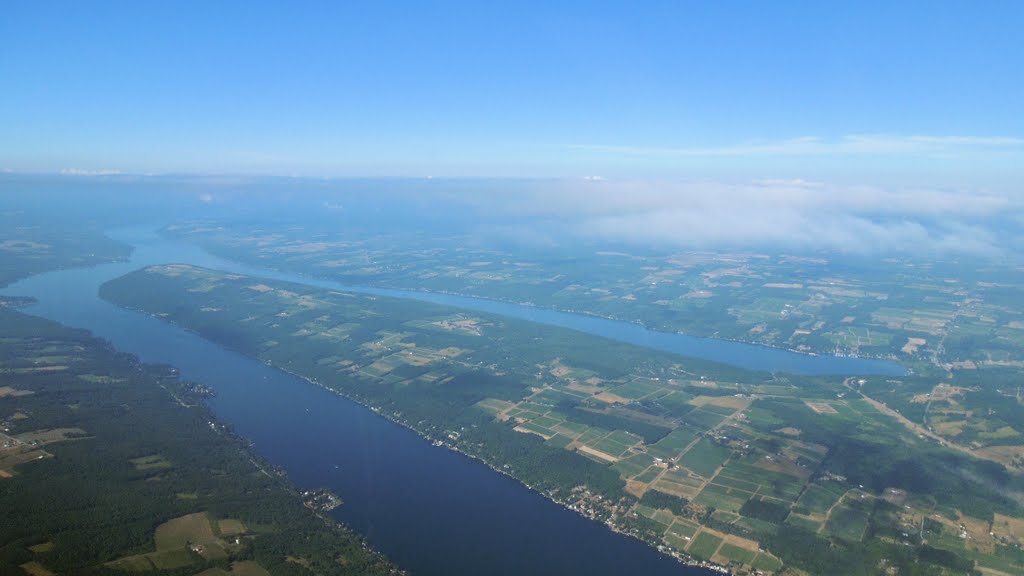
As we proceeded west, the building cumulus formed a veritable wall inland off our left wingtip. To the north, the cooler air over Lake Ontario was mostly clear. Over time, our course converged with the wall of cumulus until we were eventually flying alongside. Like a dingy next to a Great Lakes freighter, we bobbed alongside the massive cloud formation in the mild turbulence.
At one point, we flew through the building top of a cloud. Even from a distance I could see that it was roiling, swirling and seething in a lifting force working to build the cloud ever higher.
"There's gonna be a bump," I warned my family. There was.

We struggled westward into the evening sun, the headwind prolonging our time spent staring into the glare.
"Daddy," interjected The Bear, who was sitting behind me. "I'm using you as a sunshade."
"Want to sit on my lap so that I can use you as a sunshade, instead?" I asked.
This was answered with an emphatically outraged "NOOOO!" Fine. There is probably a regulation specifically prohibiting that anyway.
Shenanigans
As is standard practice on cross country flights, we were monitoring Guard, the emergency frequency on 121.5. Frankly, the emergency frequency should not be as much a source of entertainment as it often is.
Pilot 1: (broadcasting something sarcastic that we did not quite catch)
Guard Hall Monitor: "On Guard"
Pilot 1: "I bet you honk at cars stopped at red lights."
Guard Hall Monitor: "Alright, come on, are you a professional pilot or a child?"
Pilot 1: "I'm a professional child!"
Pilot 2: "Bet you wouldn't say that if you were face to face with him!"
A discussion ensued about how radio anonymity enables bad behavior on Guard. I was reminded of how the comment sections of on-line news articles are inhabited by a particular brand of irrational subhuman that even Dante never conceived of when populating his circles of Hell. I stopped monitoring the emergency frequency so that I could hear incoming calls from Toronto Center on the other radio. It is one thing to follow the regulations and monitor Guard as able while en route, but when the frequency becomes inappropriately chatty, it becomes a distraction.
After three hours and fifteen minutes, we had Oakland County International in sight and made a visual approach to land on runway 27 Left. There were no more barriers to the journey. We were hungry and tired, but we made it safely.
As we taxied for Michigan Aviation on the southeast corner of the field, we saw a Cirrus Vision jet take the active runway and launch. FlightAware showed that the new light jet was bound for Cirrus headquarters in Duluth, MN. It was probably on a test flight.
The line guy from Michigan Aviation met us at the airplane.
"How have you been? You haven't been here in a while."
"Good," I answered. "How have you been?"
"Great!" he said. "You should see our lobby."
"Oh, did you renovate it?"
"Nope, looks exactly the same."
At my quizzical look, he grinned and left to attend to another aircraft. I think this must have been his way of inviting us in out of the heat.
MOONNshot
| Date | Aircraft | Route of Flight | Time (hrs) | Total (hrs) |
| 23 Jul 2016 | N21481 | PTK (Waterford, MI) - SDC (Sodus, NY) | 2.7 | 1567.6 |
The next day, Kristy, The Bear, and I met with Dad's side of the family to take care of family business. I was so focused on what I was doing that I completely forgot to take pictures with everyone. But I completed what I had come to do and was able to visit with Dad and Carol in person, which is a rare treat considering that they live in Tennessee.

While in the car, I noticed that The Bear had a cute smile on her face. I asked her to hold it so that I could get a picture. The longer she held it, the creepier it became.

We had lunch with Mom at the Clarkston Union, famous for its delicious Macaroni and Cheese. Returning to Mom's house from downtown Clarkston, we discovered that the power was out and, without functional air conditioning, the house air was already becoming warm and humid. Considering that outside temperatures were floating around 94°F, that seemed like a perfect excuse to head back to the airport.
As I have written before (frequently), the FAA likes to assign a particular route home from Pontiac that takes us via MOONN intersection out over more water than I care to traverse. To prevent this, I have been including a request on my flight plans to avoid flying over Lake Erie. Though the FAA computer still blindly assigns the MOONN route regardless of what I write in the remarks section, Pontiac Ground usually reacts to my comments by working out an acceptable alternative before we ever break ground.
 |
| Filed route: KPTK DELOW V2 BUF ROC LORTH KSDC |
For this trip, I had filed an airway route: KPTK DELOW V2 BUF ROC LORTH KSDC (above). As usual, I received an email from ForeFlight indicating that I should expect the MOONN routing: KPTK MOONN V90 DKK KSDC (below). While it is not exactly the overwater equivalent to flying between Greenland and the Labrador Coast, it is still a lot of time over water in a slow airplane that does not fly particularly high. Maybe I'm just picky. Maybe I just like fighting the system. But, you know, maybe that route freaks me and my wife out a little bit and we'd rather not fly it.
 |
| ATC commonly assigned route: KPTK MOONN V90 DKK BUF KSDC |
In spite of the ForeFlight expected route notification, Pontiac Ground cleared us for the DELOW V2 LORTH route I had originally filed. Hooray for manual intervention by humans; computers don't always get it right.
Aloft and climbing toward cooler air over the now-domeless Silverdome, Detroit Departure provided radar vectors out of the Metro Detroit area. The Detroit controller was quite busy. Then, while over Lake St. Clair, we heard "Warrior 481, direct MOONN, contact Cleveland Center on..."
 |
| Eastern edge of Lake St. Clair |
Uh...
Kristy looked askance at "direct MOONN", but I was busy dialing the off-route fix into the GPS, managing our continued climb, and checking in with Cleveland Center. Once we were level, trimmed, and leaned at 7,000 with twelve miles to go before arriving at MOONN intersection, my workload was low enough to challenge Cleveland Center on the clearance.
"Cleveland Center, Warrior 481 has a question when you have a moment."
"Warrior 481, go ahead."
"Detroit Departure cleared us direct to MOONN, but since MOONN isn't part of our clearance, we're curious about what happens next."
She actually laughed out loud on frequency. After a pause, "Warrior 481, proceed direct Aylmer (a VOR on Victor 2), then on course." She was still chuckling as she provided these directions to put us back onto our cleared route.
Under Pressure
With the matter of the clearance resolved, the next crisis arose. We had just barely set out across Ontario, Canada when The Bear declared that she had to go to the bathroom. Badly. We still had at least an hour of transit time over Canada before we could easily divert elsewhere unless we turned back toward Michigan.
Kristy climbed into the back seat with The Bear and improvised a makeshift "piddle pack" out of the previous days' dirty clothes and a plastic grocery bag that formerly contained the leftovers of our famous Clarkston Union Mac and Cheese. Unfortunately, our responsible and astute Flying Bear did not want to soil the airplane and could not be coaxed to relieve herself, even with Kristy's encouragement that everything was fine. Call it a mental block. Either way, she suffered for much of the ride across Canada.
While Kristy attempted coaxing The Bear into letting loose in the back seat of the Warrior, Erie Approach was trying to reach an IFR Cirrus flying along our same route in the opposite direction and 1000 feet below us. Approach asked me to relay a message, but Cirrus Two Sierra Charlie did not respond to me, either. I also heard the controller broadcasting on Guard hoping for a response from the silent ship. When the Cirrus passed below us, it momentarily appeared on my iPad via ADS-B. I tracked it is it passed 1000 feet below but, once it was a few miles behind our tail, its triangular cyan avatar disappeared. I wondered if the aircraft was having electrical issues and lacked the power to transmit over any significant distance, but I'll probably never know for certain.
As we approached the US border, we considered diversions to Niagara Falls International, Buffalo, or Genesee County airports to provide some relief for The Bear. Talking through these options must have relaxed her somewhat because she was finally able to let go. Kristy's jury-rigged diaper performed perfectly and The Bear's disposition improved significantly after that.
"Just call me MacGyver," Kristy boasted, proud of her IPD ("improvised piddle device").
"I don't think you could pull-off that mullet," I said. With the crisis averted, sarcasm was once again safe for use in the cockpit.
 |
| Buffalo Airport (KBUF) |
The remaining flight was serene. A low evening sun endowed the world with a warm hue, a tailwind propelled us at an expedient 135 knots over the ground, and the air had gone completely smooth. Kristy and The Bear played games in the back seat as I chauffeured them home.
 |
| Downtown Rochester, NY |
Denouement
As I packed up the cockpit on the ground at Sodus, I could not help but wonder about the set of natural forces that had arrayed themselves against our making this flight. Despite thunderstorm potential, stomach bugs, out of date databases, soft tires, headwinds, stifling heat, a relentlessly unblinking solar eye, confused Departure controllers, a NORDO Cirrus, and an overly-hydrated Little Bear, we still managed the flight capably and safely.
Flexibility: it's what travel by General Aviation is all about. Despite our travails, flying still beats driving.
 |
| FlightAware ground track from Pontiac to Sodus |