
Goals
At the end of 2022, I decided that I wanted to try something new in 2023. It needed to be fun and fit into my schedule and I quickly settled on earning a seaplane (a single engine sea or SES) add-on rating to my existing pilot certificate. Additionally, I wanted to fly something interesting, maybe something vintage. And given that I had a flight review coming due in May, I wanted to earn the SES rating before the end of May so that it would fulfill that requirement as well.
Through a convoluted process and a couple of false starts, I connected with Tom from Traverse Air. Based in Traverse City, Michigan, Tom trains seaplane students in his highly modified 1947 Piper PA-12 Super Cruiser on straight floats. Searching online flying forums, I discovered a number of positive reviews of Tom as an instructor for both seaplanes and multiengine aircraft.
In February, Tom and I scheduled for the week of May 8. Tom expected his northern Michigan lake to be completely ice-free by then. While this was a reasonably safe bet, the greatest risk to this plan was always weather. May weather can be very unpredictable in northern Michigan.
Even though the training would only require two days, I planned a full week's stay in Michigan to build in flexibility for poor weather. When not training, I could use the remaining time to visit friends, family, and various northern Michigan destinations in the Warrior. Part of the fun in planning the trip was researching places to visit.
During the intervening months, I studied the materials that Tom provided and hoped for suitable weather in May.
Weather Guessing and Second Guessing
| Date | Aircraft | Route of Flight | Time (hrs) | Total (hrs) |
| 07 May 2023 | N21481 | SDC (Sodus, NY) - IAG (Niagara Falls, NY) - D95 (Lapeer, MI) - TVC (Traverse City, MI) | 4.8 | 2617.5 |
 |
| A beautiful blue sky. Photo as proof. |
Despite the Upper Peninsula of Michigan receiving snow just prior to the trip, the weather forecast for the week of May 8 was promising. Forecasts for the various cities I would visit led me to expect high temperatures ranging from the 50s to the 80s depending on the day and the place. I packed a diverse collection of clothes for the week, loaded the Warrior, and launched into a clear blue sky over Sodus on an IFR flight plan. My first stop was Lapeer, MI to visit family.
 |
| Lake Ontario Shore west of Rochester. |
I checked the weather radar for my route immediately before take off and saw nothing more than light rain over the eastern side of Michigan. I expected that I would need to fly an approach into Traverse City due to low clouds forecast there, but my only real concern was icing and thunderstorm activity. It was too warm for icing to be a factor at my intended cruise altitude and based on all data available to me at the time of departure, the risk of thunderstorms was extremely low.
 |
| Screen capture from ForeFlight showing in-fight ADS-B uplinked weather over eastern Michigan. |
Imagine my reaction when, about 40 minutes into the flight and not quite to Buffalo, I looked farther along my route and saw unexpectedly significant weather barring the way. Intense red and violet radar returns over eastern Michigan suggested heavy precipitation potentially associated with convection (thunderstorms). Active convective SIGMETS (outlined in red) appeared to confirm thunderstorm activity.
This was not only very different from forecast, but significantly worse than what I observed at the time of departure. Furthermore, that wall of weather appeared to be moving eastward to meet me. When flying across Canada, diversion options are very limited, so manageable weather is one of my key requirements to fly the route between Buffalo and Detroit. Based on the uplinked weather radar picture, that was now in question.
 |
| Final approach, runway 24, Niagara Falls International Airport (KIAG). |
I decided that I was better off reviewing the weather situation from the ground before setting off across Ontario. I notified Buffalo Approach that I was diverting to Niagara Falls International. I think this is the first time that I have ever changed my destination under IFR without the controller asking if I was reacting to an emergency. In this case, I was trying to avoid one.

After landing at Niagara Falls and parking on the Calspan ramp, I pulled my iPad from its yoke mount and went inside to get further insight into the weather.
Interestingly, internet weather sources all suggested much less intense precipitation over Michigan. The red and violet returns I observed in flight were replaced by green with some spotty yellow. Furthermore, though I was able to confirm that the weather was moving eastward into Canada, the ground based resources made it easier to establish that the intensity of precipitation was dwindling with time. Once convinced that the weather situation was not nearly so dire as depicted by the uplinked radar images, I filed a new IFR flight plan from Niagara Falls to Lapeer and continued to monitor conditions for verification. I was back in the air thirty minutes after landing.
Despite flying with in-flight weather capability for many years, I have never noticed such a mismatch between the uplinked radar and reality before. (Beyond the expected lag time.) Was this the weather radar equivalent to grade inflation? Is uplinked ADS-B weather radar information color coded more conservatively than data from other sources?
 |
| A turbine powered Cessna 208 on the Calspan ramp. |
 |
| Look at the exhaust on that thing! |
A Familiar Road
 |
| A freighter in a lock on the Welland Canal between Lakes Ontario and Erie. |
From Buffalo westward, I found myself flying under a high overcast in smooth air. Familiar Canadian landmarks like the Welland Canal passed below.
 |
| The Welland Canal with Lake Erie in the distance. |
 |
| Jordan Harbour and the QEW. |
 |
| The charred remains of Le Grande Hermine in Jordan Harbour. |
West of St Catherines, I spotted a familiar highway landmark from the air for the first time. When driving the QEW, it is hard to miss the burned wreckage of Le Grande Hermine in Jordan Harbour. With its masts recently removed due to structural deterioration of the ship since it burned in 2003, this was my first time spotting the wreck from the air.
 |
| Hamilton, ON. |
 |
| Hamilton, ON. |
As I approached London, Ontario, a new potential weather threat became evident. A narrow wall of red radar returns stood between me and my destination in Michigan. If there is poor weather along the Canadian route to Michigan, it is almost always near London. It is as if the city founders intentionally sited it where the worst weather in Ontario occurs.
 |
| The line of weather south of my route. |
 |
| The line of weather north of my route. |
However, as I approached the line, I could see through it. With that being the case, how intense could the precipitation actually be? Was this more grade inflation from my uplinked radar display?

Passage through the line of weather was smooth. Beyond it, I was in and out of the clouds for roughly fifteen minutes.
 |
| The Canadian shore of Lake Huron. |


 |
| Over Lake Huron with the St Clair River / international border winding southward in the distance. |
Family Connections
Once over Michigan, the weather cleared for the remaining flight to Lapeer.
My mother was always my primary point of contact with her side of the family and, when I lost her in 2018, I also lost much of that connection. Though I did not have time to see everyone I would have liked to have seen, I reached out to my Uncle Brian, his wife Karen, and my cousin Kim and offered a brief visit on my was to Traverse City.
When I was in college, my Uncle Brian helped keep my car going. For example, my car had a habit of destroying oxygen sensors, but because I worked for a General Motors division with an active oxygen sensor development program, I could get scrapped prototypes from work and my uncle would help install them. Attendees of my wedding might also remember my Uncle Brian as the boisterous "chief clinker" during our reception.
 |
| With Uncle Brian and Karen. |
 |
| With Kim. |
We met at the Dupont-Lapeer Airport and went to lunch together. It was great to spend a couple of hours catching up with everyone. As great as that was, it reminded me of how many other members of the family I should catch up with. But that was goal for another day. I needed to get myself to Traverse City.
IMC
Although I filed one, Great Lakes Approach could not locate an IFR flight plan for me as I climbed away from Lapeer. I leveled at 2,000 feet to remain clear of the clouds as the busy controller juggled traffic in his sector while gamely setting me up with a pop-up IFR clearance. With clearance in hand, I ascended into the clouds and cruised at 4,000 feet where I remained in instrument conditions for 1.5 hours before breaking out on the final approach to Cherry Capital Airport in Traverse City, MI.
En route, having lost all ability to sightsee, I hand flew to exercise my instrument flying skills. I must have been near the tops of the clouds because the brilliance of reflected sunlight was an ongoing insult to my eyes until I dove deeper into the clouds during the approach.
 |
| With HAL flying the ILS-28 into Cherry Capital Airport (KTVC). |
I programmed the autopilot to fly the ILS-28 approach into Cherry Capital Airport, first intercepting the localizer, then capturing the glideslope for a steady descent deeper into the murky cloud layer.

I broke out roughly 1000 feet above the ground with the eastern arm of Grand Traverse Bay to my right and the runway directly ahead. I was pleased to log an approach in actual conditions so early in the flying season.
 |
| On final approach to runway 28, Cherry Capital Airport (KTVC). |
 |
| Fog encroaching from Grand Traverse Bay. |
 |
| Short final. |
Welcome To Cherry Capital
The crew from AvFlight met me at the plane with the 2022 Toyota RAV4 that I rented for the week. When I popped the airplane door open, the lineman peeked inside.
"You have a really nice panel!" he exclaimed while proceeding to identify each item of installed equipment by name. He explained that he was a student pilot flying Cessna 172s that were not so capably configured.
 |
| Warrior 481 on the AvFlight ramp at Cherry Capital Airport. |
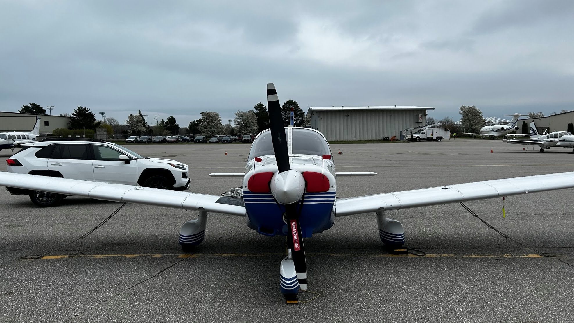 |
| Warrior 481 with the rental RAV4. |
Once standing outside the Warrior, I was taken aback by how cold and dark it was there compared to Lapeer. While southeast Michigan was borderline hot during the lunch stop, a damp chill pervaded the Traverse City air. I cleaned up the Warrior and pulled on the old cabin cover. That cover is really starting to show its age.
Overall, it was a good day of weather flying (1.8 total hours of IMC) despite the seemingly exaggerated ADS-B radar returns that caused me to divert in the morning. After landing in the gloom of Traverse City, it was hard to believe that I launched from Sodus under such a beautiful clear blue sky that very morning. But that is just part of the magic of aviation. (It seems even more magical when the airplane delivers me to clear skies after departing below the clag.)
I found my hotel easily enough, a mere 2.4 miles away and situated on the east arm of Grand Traverse Bay. Rather than drive in search of dinner, I walked a couple of of blocks to the Red Mesa Grill, a nearby Mexican restaurant. The dinner special was "Jack Stuffed Shrimp" described as "six jumbo shrimp stuffed with house made jalapeno cheese, wrapped in bacon and toasted on a flour tortilla. Drizzled with citrus butter with black beans, gringo rice, and fresh vegetables."
When the waitress asked for my order, I held up the card describing the special and asked if it was as amazing as it sounded. Receiving one of the most emphatically enthusiastic nods I have ever observed, I decided to splurge on the decadent special. And a margarita. Because, why not? It was all amazing.
The next day, I was going to learn how to fly from the water. I could hardly wait!
A good day of flying and dealing with the weather. I have given serious thought to adding xm weather back in the plane. I had the garmin 496 in the sundowner and always thought the wx was much more precise on that then the ADSB product. Giving some thought to the GDL 52, if there is any money left after annual. ;)
ReplyDeleteI am just now catching up on blog posts, life has been kind of busy with the annual and transportation issue piled on. On to part 2 !
Thanks, Gary. This is the only time in the last several years where I felt like the ADS-B weather game me a false impression of what was really going on. If that keeps happening, it might be worth considering a different option. Until now, I have thought of the XM weather as nicer, but not truly necessary for the type of flying that I do. While I know that it's more precise, with upload lag on both products, precision isn't my concern. Who needs that kind of precision when the weather has moved since the picture was created? Accurate portrayal of intensity is very much of interest.
Delete