
As the Seasons Turn
Aviators love their soundbite sized axioms.
"Take off is optional, landing is mandatory."
"Aviate, navigate, communicate."
"The most useless things in aviation are altitude above you, runway behind you, and fuel left on the ground."
While they all have their value, my vote for the most useful axiom is "always have an out" that I first learned in the context of mountain flying. Even a supposed milk run is not without need of strategic thinking. Living among the Great Lakes means that the weather risks that I find most concerning cycle with the seasons; icing when it's cold, thunderstorms when it's hot. Warrior 481 does not interrogate high enough flight levels during summer, so the number of days when icing and convection present simultaneous risks are few. However, with the summer of 2025 off to a chilly, grudging start, a cross country flight at the end of May evoked more concerns about icing than thunderstorms.
A Targeted Reunion
| Date | Aircraft | Route of Flight | Time (hrs) | Total (hrs) |
| 25 May 2025 | N21481 | SDC (Sodus, NY) - PTK (Waterford, MI) - SDC | 5.7 | 2987.5 |
 |
| The former Clarkston Senior High School (lower left) photographed September 22, 2008. |
Inspiration came in the unlikely form of a Facebook post. My former high school, now Clarkston Junior High, was about to undergo significant renovation that involved demolishing portions of the original building starting with its distinctive buttressed Quonset hut gymnasium. On Saturday, May 17, the school would be open for any community members who wanted to walk through one last time.
I can be woefully maudlin about these kinds of things and am a complete sucker for the type of wistful nostalgia that an event like this would inspire. I reached out to Mike and Jeff, members of my high school inner circle, and suggested that we were overdue for a reunion and that the school open house seemed like a great excuse. Both were immediately on board, but the weather was not. I cancelled the flight to my hometown due to a combination of strong winds aloft, surface winds forecast at 20-something knots gusting to 30-something knots, and potential for IFR conditions and icing to boot. Too many strikes. I considered making the drive to Michigan, but commitments on Sunday meant that I needed to drive the 12+ hour round trip in a single day and that held zero appeal for me.
But the idea had taken hold and when Mike and Jeff were available a week later with much improved weather prevailing, I found myself happily winging my way to southeast Michigan on the morning of May 25.
The Well Worn Path
Searching my digital logbook for flights involving my hometown airport of Oakland County International (KPTK, previously Pontiac) returned 48 results. It ranks ninth among my most visited airports, a list also including home bases Three Rivers Municipal, South Haven Area Regional, Le Roy, and Williamson-Sodus. At this point in my life as a pilot, the aerial journey from western New York across Ontario, Canada to southeast Michigan is so deeply ingrained that seeing the sights along that route for the first time in many months is imbued with its own type of nostalgia.
 |
| Mike's Champ, Lee's Colt, and Alan's Champ. Chris' Bonanza is climbing away. |
I departed the Williamson Sodus Airport just ahead of the taildragger crew (in which Lee's Piper Colt is an honorary taildragger) heading out to breakfast.


Flying westbound toward Rochester at 6,000 feet, I traversed a variety of unique cloudscapes, blasting through them with impunity courtesy of an IFR clearance

An overcast layer deprived Rochester's cityscape of its fullest color potential.

A recent statistic from our local news indicated that the last dry weekend experienced by Rochester occurred in November of the previous year. An absurd volume of water flowing over High Falls on the city's north side added wet testimony to that statistic.
 |
| Frederick Douglass / Greater Rochester International Airport. |
As I dutifully toed the line that was my instrument clearance, my benefactor at Rochester Approach looked out for me until the handoff to Buffalo Approach roughly halfway between the two cities.

More evidence of excessive rain west of Rochester manifested as a landscape appearing so soggy that I could have mistaken it for coastal Florida.
 |
| Grand Island in the Niagara River with Lake Erie in the background. |

Spread placidly across acres below was the massive azure battery of the Lewiston Pumped Storage facility.

Canada's Ontario Power Generation Facility loomed high over the Niagara River like the impassive grey battlements of a fortress. Nearby, the Queenston-Lewiston crossing between the United States and Canada spanned the river. In the past, I have reveled in zipping a few thousand feet over this often gridlocked bridge at 140 mph. On May 25, bridge traffic was light and there appeared to be no waiting at customs for entry to Canada. I wondered how much traffic had been affected by recent political rancor between the two historically friendly nations.
Grandeur of Nature

The Seneca Niagara Resort and Casino on the United States side of the river presented as a gaudy, high-tech version of the wooden facade of an Old West saloon: an impressive front elevation hiding a much less impressive structure behind. Aviation easily undermines these architecturally created illusions.

Nothing mankind has constructed can rival the simple and rugged beauty of water tumbling over the Niagara escarpment.

Sometimes, when the light is just right, sharp eyed aviators may be rewarded with an additional treat.

Gaudy structures adjacent to natural wonders is not a problem unique to the United States. The Canadians are guilty, too.

Once over Canada, Tillsonburg Airport passed below, a potential emergency landing spot that I once strongly considered during an emergency that wasn't.

London, Ontario is a rare urban center in the agrarian expanse of southern Ontario and is best known to aviators as the North American home of Diamond Aircraft.
 |
| Downtown London, Ontario. |
Minimal IMC
West of London, scattered clouds at my cruise altitude resulted in roughly thirty minutes of time in instrument meteorological conditions that also caused some unfortunately timed light chop. Timing was unfortunate because I chose that leg of the flight to relieve an over-pressurized bladder. It made an already delicate operation more troublesome than normal.


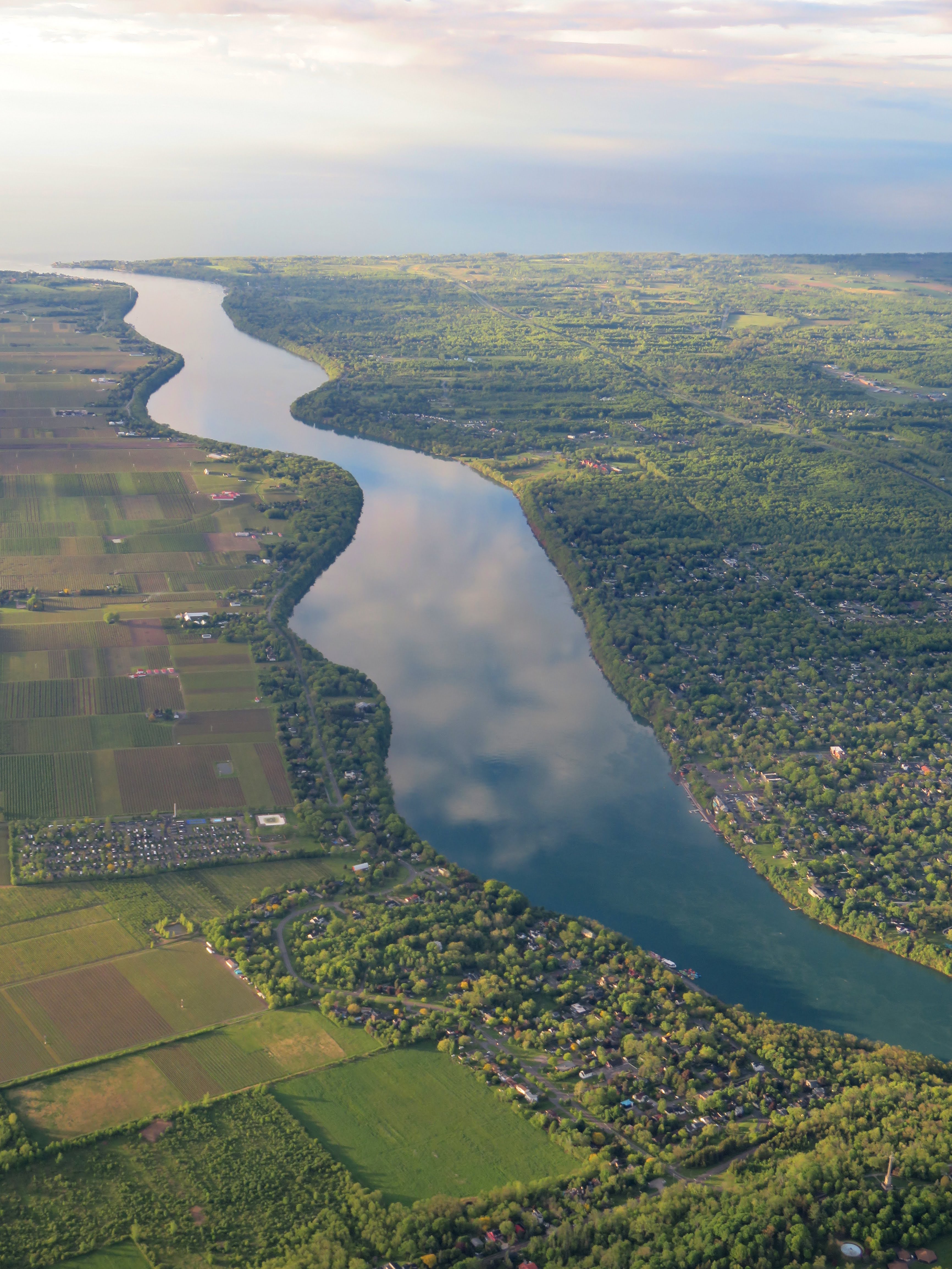
Scattered clouds continued across the St Clair River and into Michigan.

As I crossed the river, I texted an updated ETA to Mike who planned to meet me at the airport. Availability of loaner cars from Michigan Aviation was more limited than in the past and Mike volunteered to drive me to our gathering.
 |
| I-94 headed southwest past Lake St Clair toward Detroit. |
 |
| Selfridge Air National Guard Base. |
Returning Home

Oakland County International / Pontiac was a popular destination that morning. Multiple student pilots were orbiting in a right-handed pattern north of the airport for touch and go's on runway 27R. I was one of four transient airplanes on final for the larger runway 27L and Detroit Approach provided a pair of vectors to delay my arrival until those ahead landed.
 |
| Two(ish) mile final for runway 27L at Oakland County International. |
"Cherokee 481, taxi Michigan via Charlie, Bravo one, Alpha one," instructed Pontiac Ground. I recited the taxi route back to him, less as a recent directive and more as a standing mantra from years past.
 |
| Taxiing onto the Michigan Aviation ramp. Photo by Mike K. |
Meanwhile, Mike had just arrived at Michigan Aviation.
"Waiting for someone?" asked a member of the line crew. When Mike provided my tail number, the lineman said, "Oh, he literally just landed."
 |
| Parking on the Michigan Aviation ramp. Photo by Mike K. |
 |
| Lincoln and me while Monte lurks in the background. Photo by Carrie. |
From Oakland County International, Mike drove us to Jeff's house where we were re-introduced to his wife Carrie whom I had only met once before. We also met Lincoln and Monte, their Great Danes. Because the dogs' heads were at tabletop level, I noticed that Carrie and Jeff carefully maintained a buffer zone around the perimeter of tables and countertops that was roughly snout-length to prevent either dog from inappropriate grazing.
 |
| Me, Jeff, and Mike. Photo by Carrie. |
We sat outside on Jeff's deck for hours talking as though no time had separated us at all. Many of my visits to southeast Michigan since 2018 have failed to truly feel like a return home, but this one did and I was so glad that I made the time to go. Mike clearly felt the same way because we stayed so late at Jeff's that he missed a family commitment. (Sorry!) Thanks to Jeff and Carrie for hosting and feeding us!
Mike returned me to the airport seven hours after I first landed. I filed the return flight plan from Mike's car along the way, remembering to file my preferred airway route plus a request to avoid flight over Lake Erie. I was instantly assigned the dreaded HHOWE Four departure that would take me directly across Lake Erie and extend the duration of the return flight, but by the time I had the Warrior's engine fired up, the terrific controllers in Pontiac Tower had already read my request and intervened. "Cleared as filed," said Pontiac Ground.


East of London, Ontario, a cloud layer appeared in my path. Uplinked radar indicated liquid precipitation in the cloud, but the outside air temperature (OAT) was several degrees above freezing (higher than forecast) and so did not cause me any significant concern. I continued onward, switching on the pitot heat before penetrating the cloud just in case.
A Cold Reception
 |
| Holding short of runway 27L on taxiway C1 and ready to go. |
 |
| Pontiac Tower silhouetted in the distance as I waited for IFR release. |
 |
| They really do try to make it hard to get lost. |
 |
| Oakland County International seen on departure. |
After takeoff, I received a few radar vectors from Detroit Approach before they sent me directly to ADRIE, the entry to my filed airway route home.

Having flown all over the United States east of the Mississippi, I have come to appreciate how truly unique Oakland County Michigan is with its multitude of small lakes. Sometimes it takes leaving to put the novelty of one's origins into perspective.

I flew past London, Ontario where the sky was dominated by a massive cloud hovering overhead like an invading mothership.
When filing the return flight plan, I debated between cruise altitudes of 5,000 and 7,000 feet. A better tailwind favored the higher cruise altitude, but the lower altitude was below the freezing level. However, cloud bases were forecast to be well above 7,000 feet and without entering the clouds, I did not reasonably expect to encounter icing. In the end, I decided on the higher altitude for improved ground speed reasoning that a descent to 5,000 feet would be my "out" if I needed one.
 |
| The offending cloud layer concealed rain. |
Within the cloud, I looked toward my wingtips where streaking rain marked the flow of air over the wings, an image I have always found serenely compelling as a real time visualization of the physics holding the airplane aloft.
Warrior 481 did not have an outside air temperature (OAT) gauge when I bought her in 2004. Though it is not a required instrument for VFR (GOOSEACAT) or IFR (GRABCARD) flight, I think one should be mandatory for airplanes flying IFR in the Great Lakes region. I added an OAT probe to my JPI engine analyzer before I started instrument training in 2012. When I added Garmin's flight data computer to my primary flight display in 2021, I received a second OAT probe on the opposite side of the fuselage from the first OAT probe. Sometimes, the two of them actually agree.
This was one of those times. As I scanned my instruments within the murk of the cloud, I noticed that temperatures had plunged from several degrees above freezing to just below freezing on both OAT gauges.
SHIT.
I peered outside again and saw rain striking the wing, running back a few inches, and stopping in clear streaks as though paused in time. However, the illusion of halted time was broken by fresh accumulation of more ice. Time was not freezing, the rain was.
SHIT!
It was my first ever encounter with supercooled large drop (SLD) icing. Unlike rime icing that tends to accumulate on the leading edges of airplane parts like wings, windscreens, probes, and landing gear, SLD is a form of clear icing that accretes quickly farther along the wing chord and rapidly changes the shape of the airfoil. This is considered the most dangerous form of icing for aircraft. At least pitot heat, the Warrior's only form of ice abatement, was already running, so I did not lose airspeed data.
Time for Plan B. I already knew a descent to 5,000 feet would bring me into warmer air and that there was no terrain or obstruction below that would interfere with cruising at the lower altitude. "Toronto Center, Cherokee Four Eight One is picking up ice and needs a descent to 5,000 feet." Always have an out.
"Cherokee Four Eight One, stand by," responded Toronto.
Don't think about it too long, guys. If they were slow to react, I was prepared to declare an emergency that would have given me discretion to violate my clearance; physics has no patience for bureaucracy.
That contingency was unnecessary. "Cherokee Four Eight One, descend and maintain 5,000 feet." Moments into the descent, I passed through the freezing level and watched the clear, elongated warts accumulated on the Warrior's wing skins liquify and vanish.
With the crisis averted through quick and decisive action, the flight morphed back into the originally planned milk run. Somewhere east of Hamilton, Toronto offered an unsolicited shortcut direct to Sodus.
...and Back Again
 |
| Sixteen Mile Pond west of St. Catherines, Ontario. |
 |
| The Garden City Skyway over the Welland Canal connecting Lakes Erie and Ontario. |
 |
| Both sets of Niagara Falls. |
 |
| The American and Bridal Veil Falls at Niagara. |
 |
| Canadian Horseshoe Falls. |
Considering the rushing, churning nature of the Niagara after it tumbles from higher elevation, the outlet to Lake Ontario was remarkably placid that evening.

Rochester's skyline acquired a ruddy hue as the day neared its end.

A warm blush across the instrument panel inspired me to look over my shoulder as I crossed Irondequoit Bay.

The sunset caught my eye as I turned left base for runway 28 at Sodus. I may have been among the earliest aircraft to depart the airport that morning, but was likely the last to return. All was quiet on the field as I taxied to my waiting hangar.
Debrief
I am grateful for the reconnection with my high school friends and for the ability to fly an airplane there and back again in a single day. Weather conditions enabled capturing some magnificent images along the route, familiar as it was. But the SLD encounter was clearly the most novel part of this experience.
It only takes a moment for the routine to morph into an emergency. Professional pilots have described their occupation using variations on "hours of boredom punctuated by moments of sheer terror". (Another of those common aviation axioms.) While I would not describe the majority of this day's flight as boring by any means -- "calmly rejuvenating" might be a better descriptor -- the brief SLD encounter reinforced the truth of this aviation trope. It also underscores the value of "always have an out".
Risk assessment drives pilot decision making. No one aims to eliminate risk, because then no one would ever fly or reap the rewards that flight confers. It is an assessment of the risks as well as their mitigations -- the "outs" -- that drive go/no go decisions. In the case of icing risk (which was relatively low, even though it actually happened), an easy out was available. Without that out, the flight would have been cancelled like the one a week earlier. Scenarios with a much lower freezing level, greater likelihood of clouds at my cruise altitude, or significantly higher terrain that made cruise flight below the freezing level unsafe would have all been non-starters. This is why a mantra of "always have an out" is so valuable, not only in flight, but during flight planning.
With all of that said, ice accumulation during the SLD incident was breathtakingly rapid, even though the exposure was brief. Without a ready escape, the situation could have become dire rapidly. With some time elapsed since the incident, I can reflect on it as another example of real world reinforcement of what I've read in textbooks.
No comments:
Post a Comment